Web base map templates
An exercise in compositing custom shaded relief maps of Kentucky with various raster tilesets for use in web map templates using Leaflet, Blender, and Bootstrap.
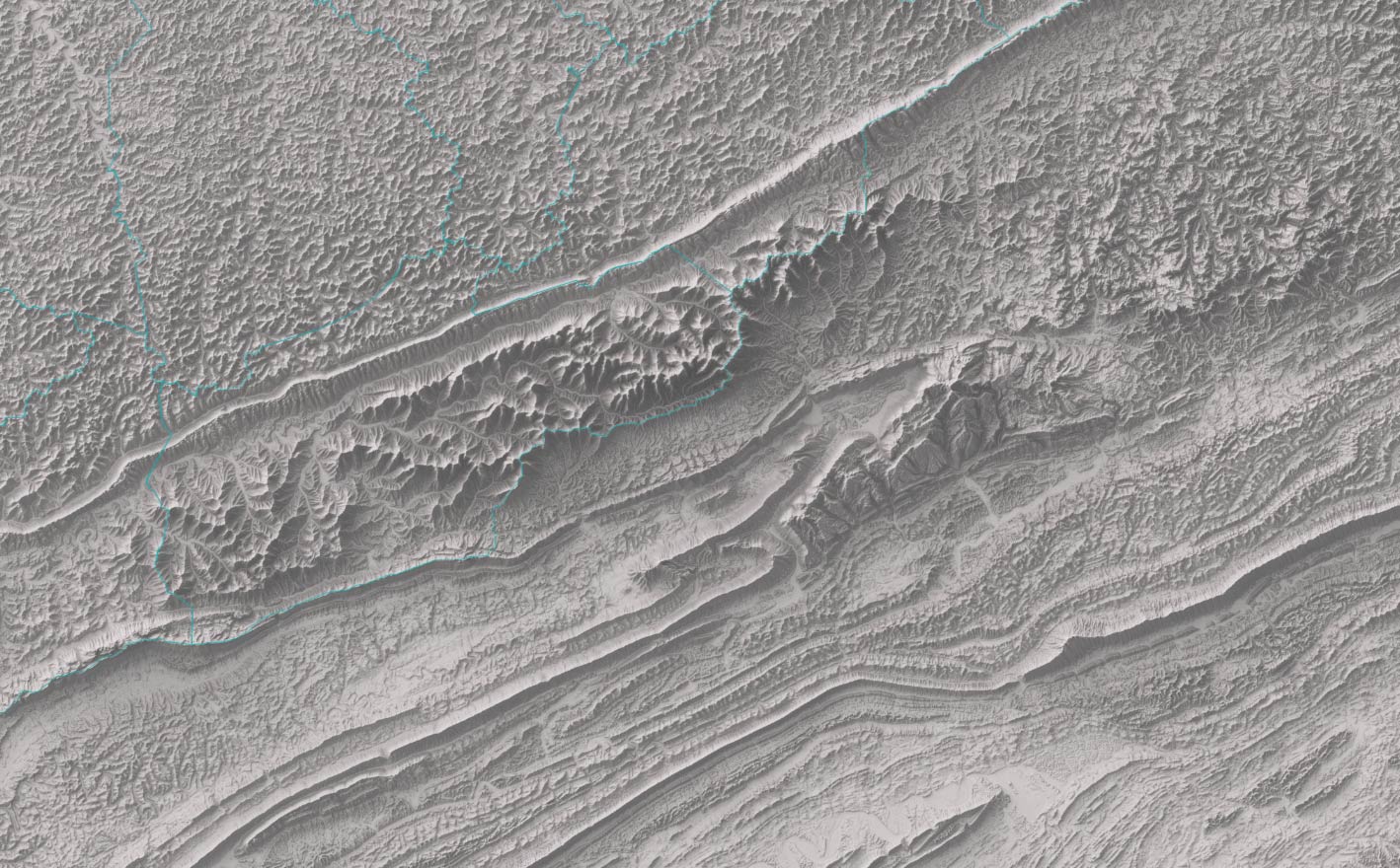
Shaded relief map of Kentucky from a digital elevation model (DEM) in a full-page template.
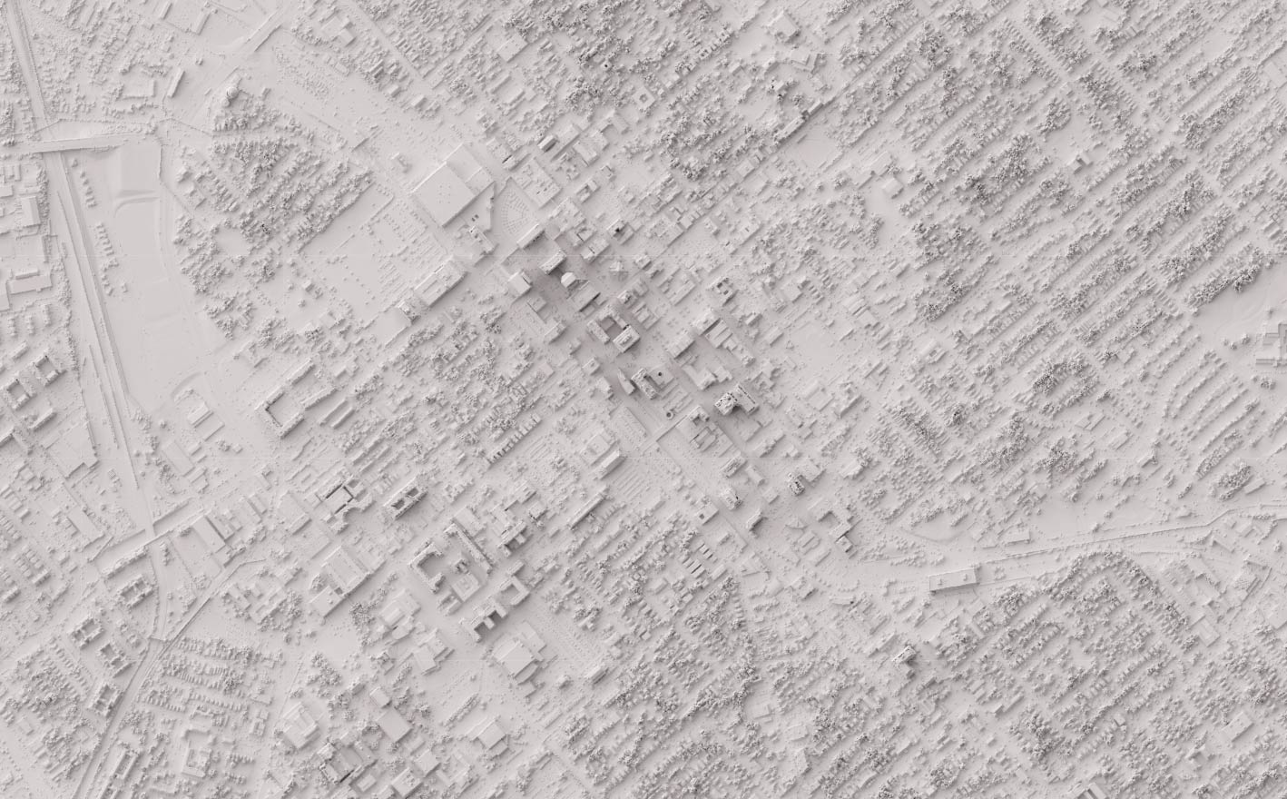
Shaded relief map of Lexington, Kentucky from a digital surface model (DSM) in a full-page template.
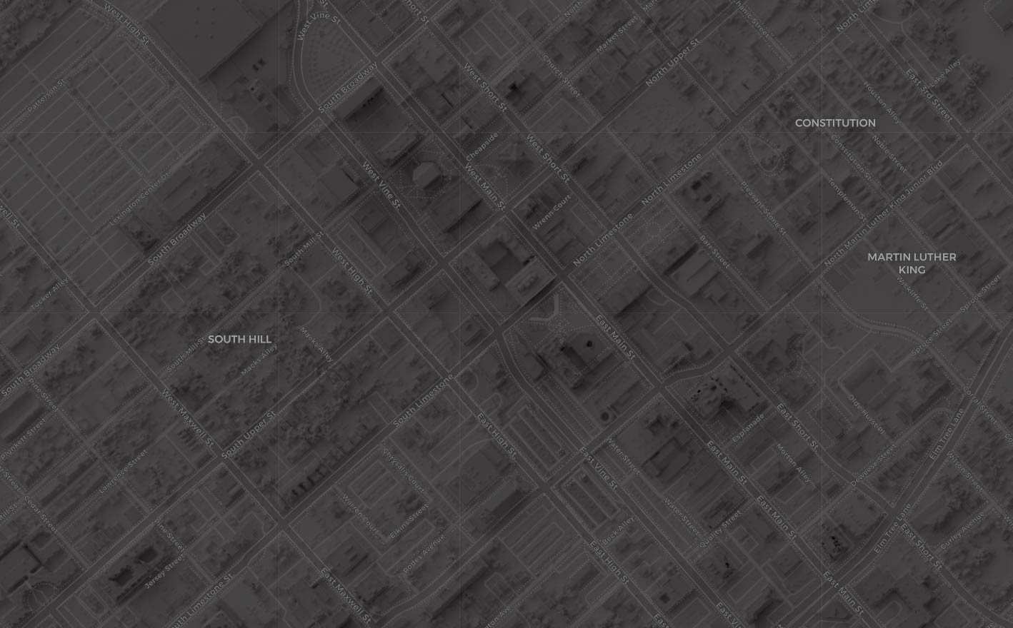
Shaded relief map of Lexington, Kentucky from a digital surface model (DSM), with labels, in a full-page template.
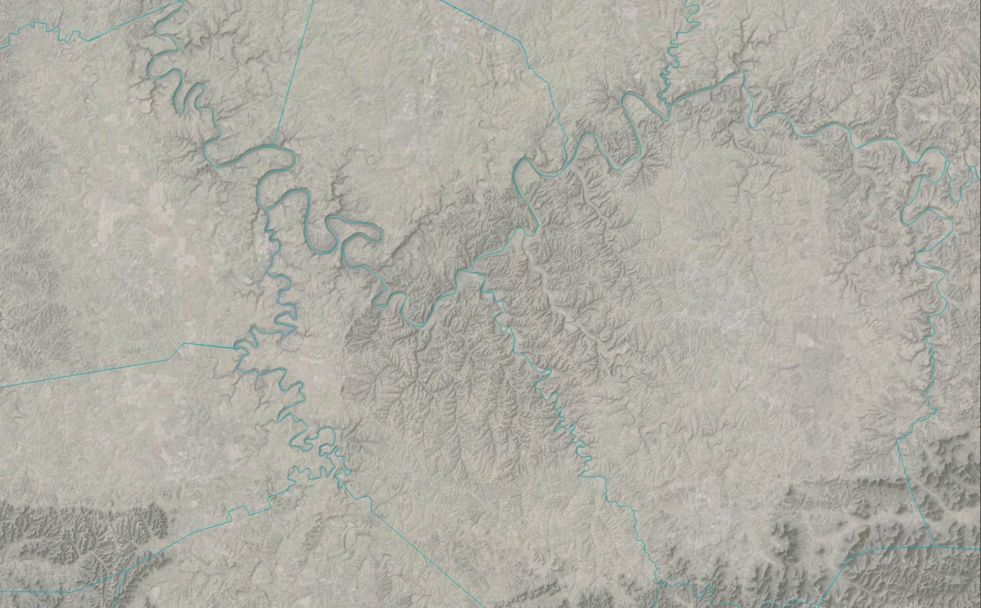
Shaded relief map of Kentucky from a digital elevation model (DEM) with aerial image overlay in a full-page template.
div class="card shadow-sm">
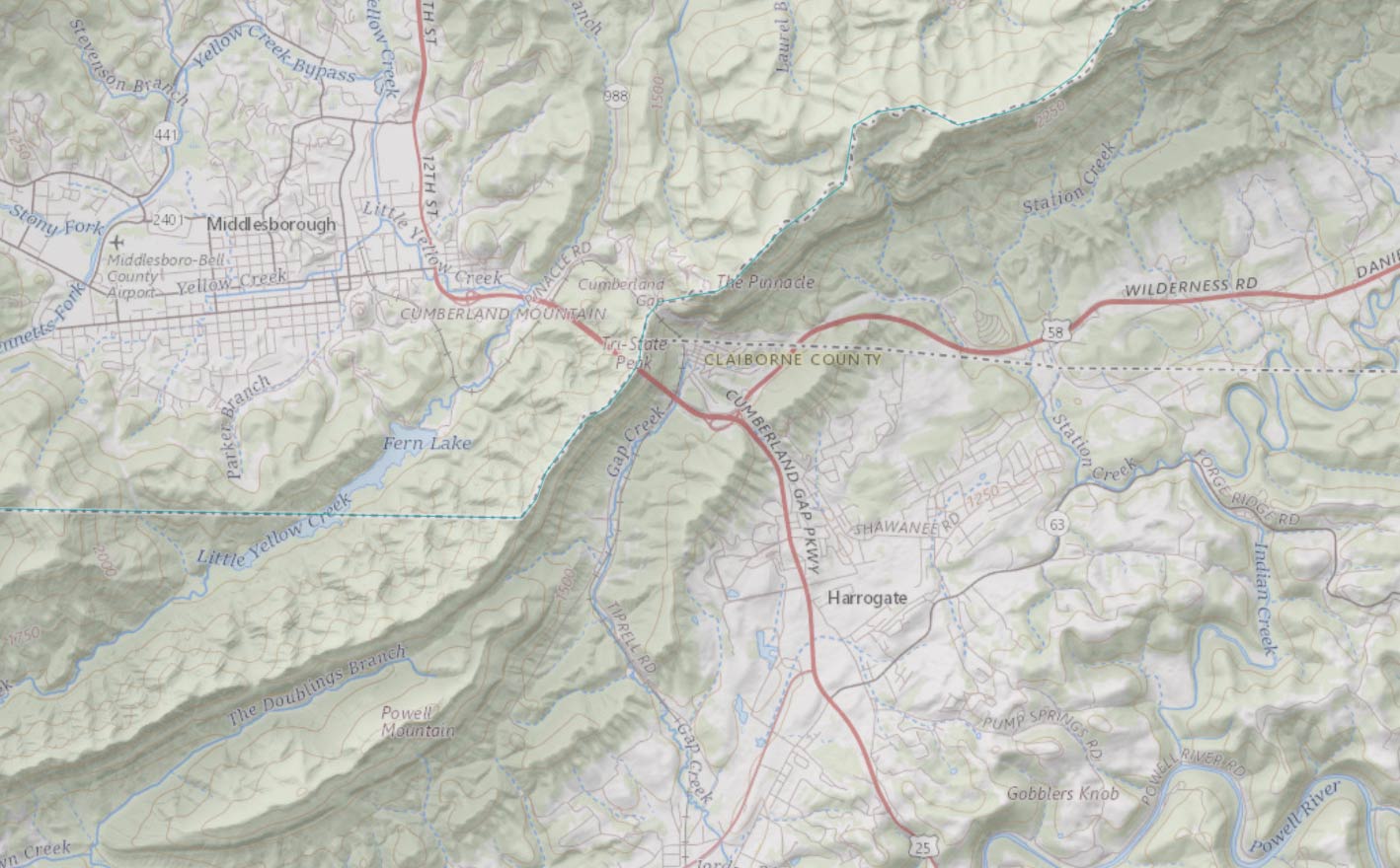
Shaded relief map of Kentucky from a digital elevation model (DEM) with topographic map overlay in a full-page template.