Sexy Lexi from the Oliver Lewis Bridge

Town Branch Trail in maps

Town Branch of the Elkhorn and the Kentucky River watershed

Kentucky River Watershed
 

Interactive Town Branch Trail with student points of interest

Town Branch Trail and the Kentucky River Watershed
 
Population density and Town Branch

Fayette County, Kentucky population density & Town Branch of the Elkhorn Creek

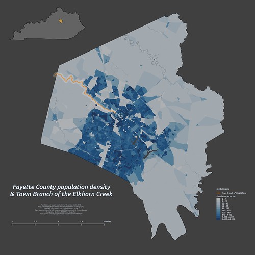
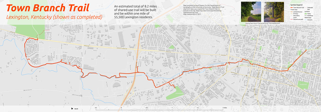
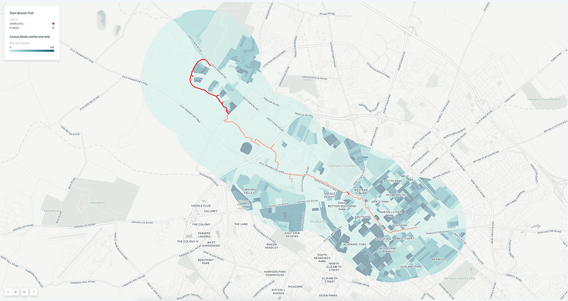
An estimated 55,000 people live within one mile of a completed Town Branch Trail

Bluegrass Springs

Springs of the Bluegrass

Kentucky population density

2017 Town Branch Trail alignment

3D plan oblique view
Trail on OpenStreetMap data
Town Branch Trail 2017 trail alignment

Interactive maps in CARTO

Analysis of elevation, canopy coverage, and population density in the Town Branch corridor

Interactive 3D maps of trail corridor using QGIS and Qgis2threejs

Base map with 2016 aerial photography, 45 MB
Base map with hillshade and 2016 estimated canopy coverge, 25 MB


Fly through animations along the trail


360 photos along trail


Patio area along stream in Distillery District


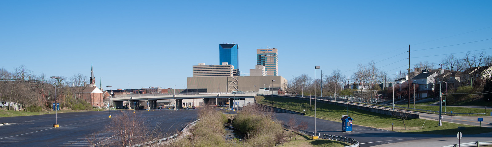
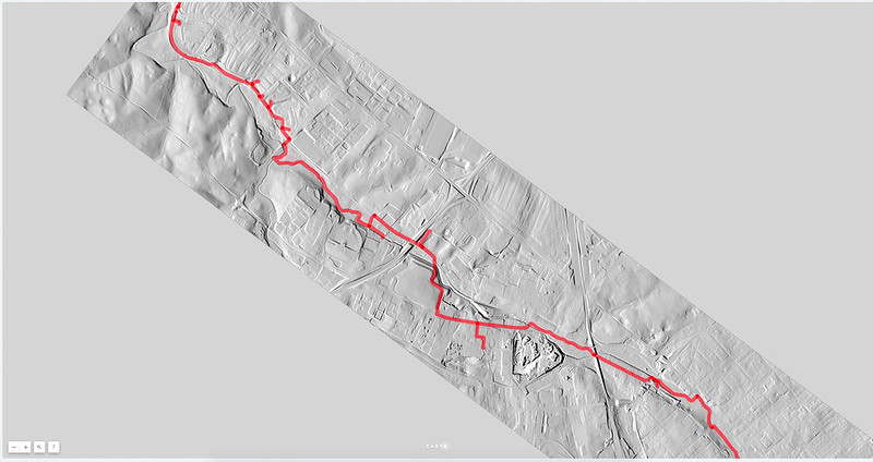
Stream daylights northwest of Rupp Arena

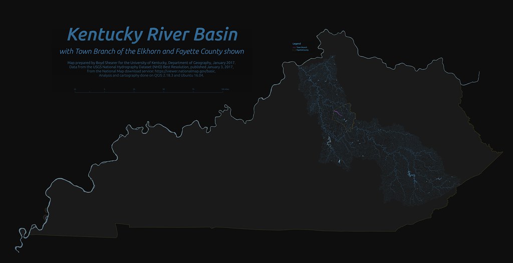
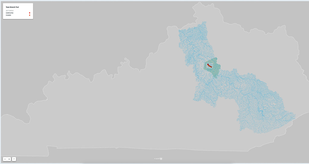
An Exploration of Town Branch Trail in maps. Web page by Boyd Shearer for GEO 409, Spring 2017, as the University of Kentucky.

Visit the web page made by students in class: reece2ke.github.io/geo409_site

Contact me at outrageGIS.com. Peace out.