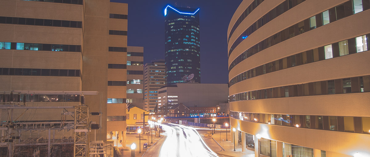
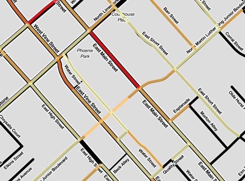
East Vine Street and South Limestone, a busy intersecton in downtown Lexington, Kentucky.
Bike/Pedestrian vs. Car Collision Analysis
January 2004 to April 2016 in Fayette County, Kentucky
Introduction
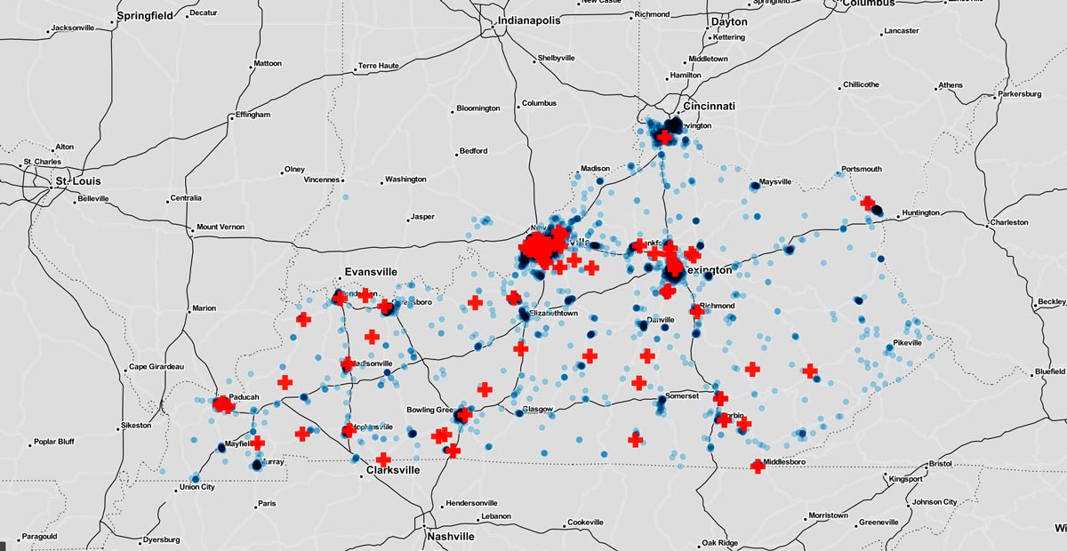
During the 2016 spring semester, a Univ. of Ky Department of Geography undergraduate GIS class analyzed and mapped collisions of cars with pedestrians and bicyclists. We focused on 12 years of data (1/2/2004 - 4/8/2016) for Fayette County, Kentucky, which contains the city of Lexington and a population of over 300,000. The county is home to Kentucky's largest university and offers a walkable and bikeable campus with connections to a vibrant downtown.
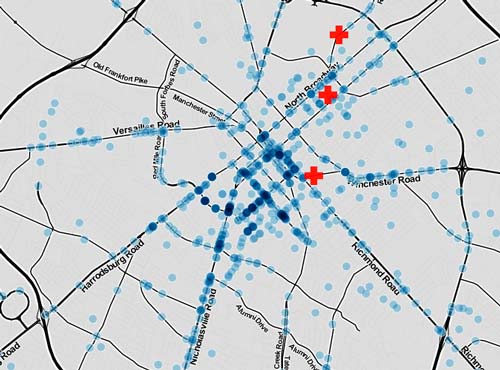
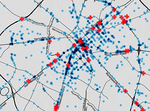
The below maps are interactive. With each collision we show attributes like injuries, fatalities, and demographic information of cyclists. When you hover over a feature an information window will present you with data for each collision or feature.
As this is a GIS course, we have created a few tools in Python, ArcPy, and ArcGIS ModelBuilder to help other people make similar maps and analyses. The code respository for the this project is located here: repo (in the works)
Data from Kentucky Crash Analsysis Wizard: crashinformationky.org
Density map of all collisions
Interactive Car Collision Maps
GEO 409: Advanced GIS. University of Kentucky Department of Geography, May 2016.